
Base maps
bfs_get_base_maps() gives you the cartographic
base maps of the BFS (the ThemaKart project) as sf objects. The
first time, it downloads a zip file with several hundred files and saves
it on your disk (a cache). bfs_clear_cache() deletes the
cache.
switzerland <- bfs_get_base_maps(geom = "suis")
cantons <- bfs_get_base_maps(geom = "kant")
districts <- bfs_get_base_maps(geom = "bezk")
communes <- bfs_get_base_maps(geom = "polg")
capitals <- bfs_get_base_maps(geom = "stkt", type = "Pnts", category = "kk")
lakes <- bfs_get_base_maps(geom = "seen", category = "11")
rivers <- bfs_get_base_maps(geom = "flus", category = "22", type = "") # rivers have no type

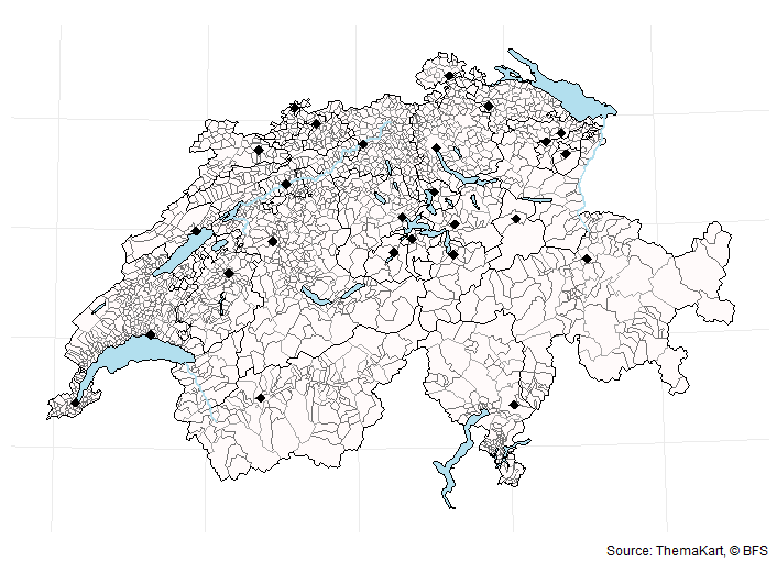
ggplot() +
  geom_sf(data = communes, fill = "snow", color = "grey45") +
  geom_sf(data = lakes, fill = "lightblue2", color = "black") +
  geom_sf(data = districts, fill = "transparent", color = "grey65") +
  geom_sf(data = cantons, fill = "transparent", color = "black") +
  geom_sf(data = rivers, color = "lightblue2", linewidth = 1) +
  geom_sf(data = capitals, shape = 18, size = 3) +
  theme_void() +
  labs(caption = "Source: ThemaKart, © BFS")
Choose a file
The name of each file is made of the arguments of
bfs_get_base_maps(). For example,
K4kant20220101gf_ch2007Poly.shp has the geometry
kant, the date 20220101, the category
gf (total area), the type Poly and the format
shp.

By default, you get the most recent file. Use date for
another date, for example date = "20230101". With
return_sf = FALSE, you get the path of the file instead of
an sf object. An argument set to "" matches all the values.
For example, to list all the river files:
bfs_get_base_maps(geom = "flus", category = "", type = "", date = "", return_sf = FALSE)By default, asset_number is the 2024 edition of
ThemaKart. For another edition, give its asset number, for example
"11927607" for 2020.
Interactive maps
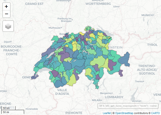
library(mapview)

bfs_get_base_maps(geom = "bezk") |>
  mapview(zcol = "name", legend = FALSE)
Join statistics
Each commune has its BFS number in the id column. You
can join it with the list of communes in the package
(register_gde), or with any BFS dataset by commune. For
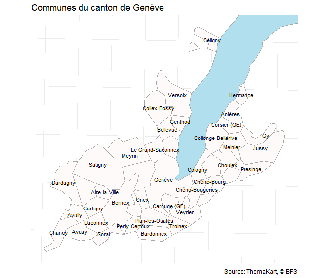
example, the communes of the canton of Geneva:
communes_ge <- bfs_get_base_maps(geom = "polg", date = "20230101") |>
  inner_join(filter(register_gde, GDEKT == "GE"), by = c("id" = "GDENR"))

lake_leman <- bfs_get_base_maps(geom = "seen", category = "11") |>
  filter(name == "Lac Léman")

bbox_ge <- st_bbox(communes_ge)

ggplot(communes_ge) +
  geom_sf(data = lake_leman, fill = "lightblue2", color = "grey65") +
  geom_sf(fill = "snow", color = "grey65") +
  geom_sf_text(aes(label = name), size = 3, check_overlap = TRUE) +
  coord_sf(xlim = bbox_ge[c("xmin", "xmax")], ylim = bbox_ge[c("ymin", "ymax")]) +
  theme_void() +
  labs(title = "Communes du canton de Genève", caption = "Source: ThemaKart, © BFS")
For the communes at another date, or for their history (mergers, new names), see the swissMunicipalities package.
Geodata of the Swiss geo-portal
The Swiss geo-portal
publishes the geodata of the BFS and of other federal offices in a STAC
API. bfs_get_catalog_geodata() lists its collections. It
sends one request for each collection, so it takes a few minutes. Save
the result:
catalog_geodata <- bfs_get_catalog_geodata()

catalog_geodata |>
  filter(grepl("^ch.bfs", collection_id)) |>
  select(collection_id, title)
Download the files of a collection with
bfs_download_geodata() (you need the rstac package). The
zip files are not extracted:
files <- bfs_download_geodata(
  collection_id = "ch.bfs.generalisierte-grenzen_agglomerationen_g1",
  output_dir = "borders_g1"
)
files
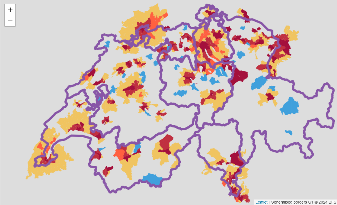
Some layers are also available as a Web Map Service (WMS). For example, with leaflet:
library(leaflet)

leaflet() |>
  setView(lng = 8, lat = 46.8, zoom = 8) |>
  addWMSTiles(
    baseUrl = "https://wms.geo.admin.ch/?",
    layers = "ch.bfs.generalisierte-grenzen_agglomerationen_g2",
    options = WMSTileOptions(format = "image/png", transparent = TRUE),
    attribution = "Generalised borders G2 © BFS"
  )
You can use the geodata for free, but you must follow the terms of use of the Swiss geo-portal.